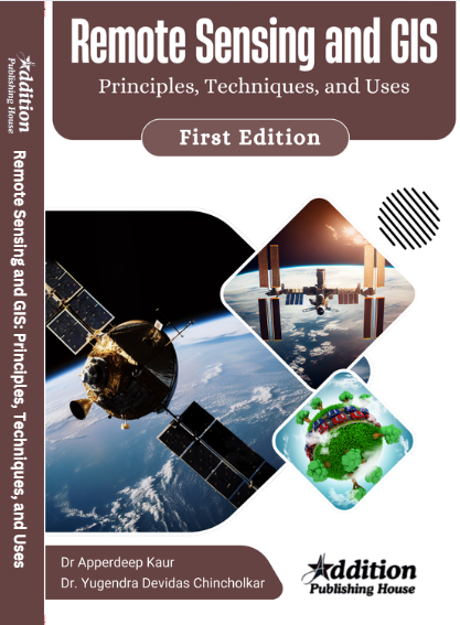
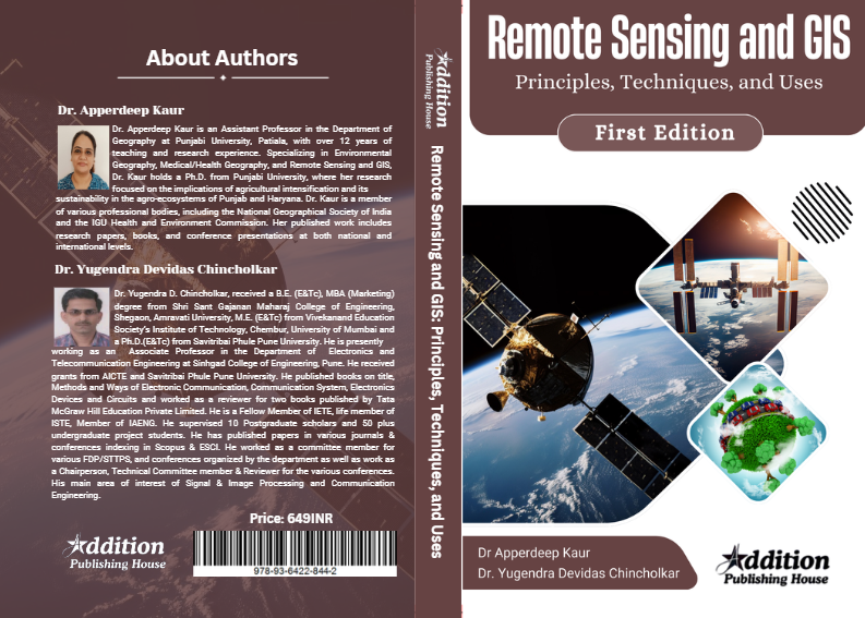
“Remote Sensing and GIS: Principles, Techniques, and Uses” serves as both a textbook and a reference resource for individuals interested in geospatial technologies and their applications. This book encompasses a holistic approach to understanding the integration of remote sensing and GIS in spatial analysis. It begins with a detailed overview of remote sensing concepts, explaining the types of satellite and aerial sensors, image interpretation, and data acquisition techniques. The book delves into how remotely sensed data can be processed and analyzed to extract meaningful information about the Earth’s surface. On the GIS front, the book introduces the key components of Geographic Information Systems, such as data structures, spatial databases, and mapping techniques. It explores both theoretical and practical applications of GIS, focusing on the processes of data collection, storage, analysis, and visualization. Real-world case studies are presented to demonstrate how remote sensing and GIS work together in fields like agriculture, forestry, disaster management, and environmental monitoring. The book emphasizes the importance of these technologies in addressing global challenges, offering a thorough exploration of how they empower better decision-making, efficient resource management, and informed policy development.
Books
Remote Sensing and GIS: Principles, Techniques, and Uses
₹649.00
| AUTHOR | Dr Apperdeep Kaur and Dr. Yugendra Devidas Chincholkar |
|---|---|
| ISBN | 978-93-6422-844-2
|
| Language | English |
| Pages | 210 |
| Publication Year | 2024 |
| Binding | Paperback |
| Publisher | Addition Publisher |


Reviews
There are no reviews yet.